RESEARCH

BLUEQ: Applied Solutions for Monitoring Coastal Habitats and Quantifying Blue Carbon Storage
Critical conservation and management needs of blue carbon ecosystems, particularly the Posidonia oceanica meadows, situated in the Adriatic-Ionian Seas

UPSTREAM - Circular and Bio-Based Solutions for the Ultimate Prevention of Plastics in Rivers Integrated with Elimination and Monitoring Technologies
An Horizon Europe Project aiming to overcome challenges related to the monitoring, prevention, elimination, and valorization of litter (L), plastics (P), and microplastics (MP).

SustainaBlue - HEIS stands for Higher Education Institutes
The project aims to support Malaysian and Indonesian Higher Education Institutions (HEIs) in enhancing their relevance to the labor market and society by fostering a sustainable blue economy and green transition.

Monitoring marine phenomena using remote sensing applications
This initiative leverages satellite data to provide specialized information on various marine phenomena, including phytoplankton blooms, marine slime and turbidity from marine excavations throughout the Greek seas.

Natural Disaster Monitoring Through Satellite Imagery and Unmanned Aircraft Systems (UAS) in Near- Real Time
Revolutionizing disaster monitoring and response methods - prioritizing the safety and well-being of the citizens of the North Aegean Region through natural disaster monitoring.

Marine Biodiversity Monitoring Harmonisation
A study within the scope of the EU Mission “Restore our oceans and waters by 2030” to address these challenges and propose sound and feasible options for strengthening European marine biodiversity monitoring here.

Aquasafe
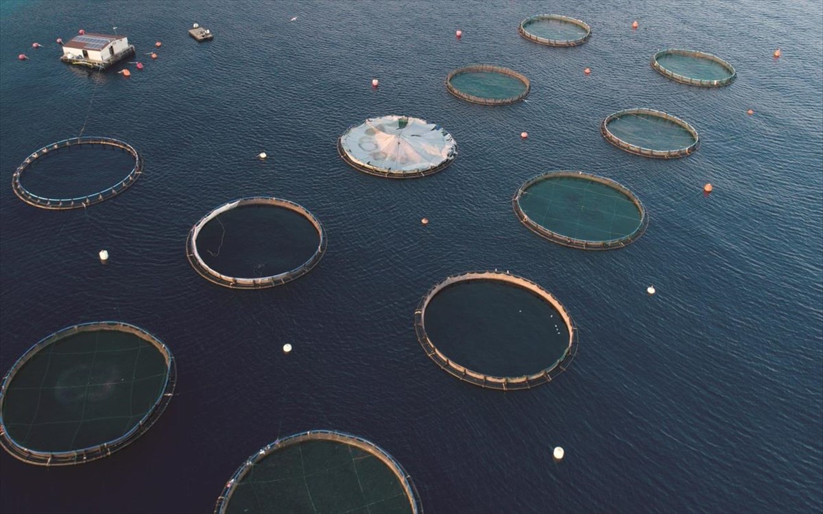
AQUASAFE is a research project that aims to create an integrated geoinformatics system for remote monitoring and early warning in aquaculture.This project is funded under the call RESEARCH – CREATE - INNOVATE.

ARGO Hellenic USV
ARGO is a research project for the experimental application and creation of a USV to collect fast, easily accessible data concerning the aquatic environments under the call RESEARCH – CREATE - INNOVATE

Plastic Litter Project 2020
Our third test on detecting and validating artificial plastic targets on the sea surface using UAV and satellite images technology has just began.

Monitoring of marine litter in Rineia
Rineia: An important archaeological site in the centre of environmental monitoring for plastic litter pollution. In collaboration with Athanasios K. Laskaridis Foundation, SciDrones and GET.

SPOTS Experiment
SPOTS Experiment was conducted in collaboration with the European Space Agency and the Dutch-based NGO The Ocean Clean Up. The aim was to understand how the presence of floating and suspended plastics in the water column may affect primary production.

MARRE (MARine monitoring system of the Hellenic Seas using REmote sensing)
MARRE is a reaserch project for the development of an open source GIS system for monitoring the marine environment, under the call RESEARCH – CREATE - INNOVATE

ARSx2 (AeRial System and Anti piRacy System)
ARS^2 is a reaserch project for the experimental application and creation of two different UAVs to Prevent Maritime Pirates Attacks, under the call RESEARCH – CREATE - INNOVATE

UASea Toolbox
UASea is a toolbox that identifies the optimal flight times in a given day for an efficient UAS survey and the acquisition of reliable aerial imagery in the coastal environment.

Small pelagic fish spatial distribution monitoring with satellite remote sensing
The project utilizes satellite imagery to map the potential distribution of anchovies and sardines, aiding in the sustainable exploitation and management of these marine resources.

Collaboration with the IIASA team for marine litter tile sorting
A collaborative project for classifying marine litter in UAS data with the use of a crowdsourcing platform.

Plastic Litter Project 2019
Our second test on detecting and validating artificial plastic targets on the sea surface using UAV and satellite images technology.

Plastic Litter Project 2018
A test project to detect and validate artificial plastic targets on the sea surface using UAV and satellite images technology.

Participation in AMOS project
Suppoting the project "Shallow Water Aquatic Monitoring using Acoustic Sensors and Satellite Images"

Seagrass mapping in Greek territorial waters using Landat-8 satellite images
This study describes and quantify for the first time the extent and the spatial distribution of seagrass meadows in Greek waters.

MRSG and GET join forces for a web geospatial data portal
GET cooperates with the Department of Marine Sciences

Salamina Oil spill from satellite (15/9/2017)
MRSG analyzed the Sentinel-1 satellite image for detecting the polluted area.

Participation in Marine-EO project
Marine-EO: All eyes on Horizon 2020’s first Earth Observation Pre-Commercial Procurement.

3D Mapping after earthquake
3D Mapping of the Vrissa region affected by the earthquake of Lesvos on 12/06/2017

Costal Mapping
Mapping coastal phaenomena with high resolution orthophoto maps. MRSG has one of the biggest databases with high resolution geoinformation of coastal zones in Greece.

Participation in SPLITRS 2017
International SPLIT REMOTE SENSING® PROFESSIONAL SUMMER SCHOOL 2017

Marine Spatial Planning
MRSGroup using UAV collects spatial data for the study of coastal areas and seamedows.

High Precision Survey of Ports
Geospatial data production for the Port of Skala Polichnitos (Lesvos Island) using UAV surveys.

Shoreline Mapping
Coastline Zones Identification and 3D Coastal Mapping Using UAV Spatial Data

Marine Litter Detection
Mapping and detecting the extent of the refugee arrival related marine litter problem along the eastern coast of Lesbos.

Mapping mesoscale phenomena in SAR images
Detection and classification of mesoscale atmospheric phenomena above sea in SAR imagery

H2020, SEO-DWARF
SEO-DWARF: Semantic EO Data Web Alert and Retrieval Framework, Marie Skłodowska-Curie Research & Innovation Staff Exchange (RISE), H2020

Seagrass mapping
Local area mapping, regional scale, country scale, ground truth

Dragon-4, Oceans & coastal zones
Monitoring from space for ocean and coast sustainability

Oil spill detection from SAR images
Oil Spill Detection by SAR Images: dark formation detection, feature extraction and classification algorithms

SAR pre-processing
Incidence angle Normalization of Wide Swath SAR Data for Oceanographic Applications


