BLUEQ Short Documentary

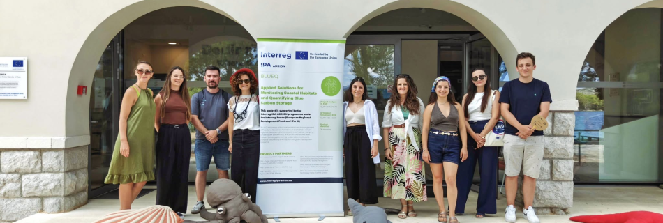
Showcasing the Value of Blue Carbon Ecosystems Across the Adriatic–Ionian Region 🎥 Watch the documentary here. The Marine Remote Sensing Group (MRSG) is pleased to share the official BLUEQ Short Documentary, produced within the framework of the BLUEQ – Blue Carbon Quantification project to promote awareness of the importance of blue carbon ecosystems and the …

BLUEQ Project Successfully Completes the Pilot Actions

The BLUEQ project has successfully completed its pilot actions in the Adriatic-Ionian Region. An important milestone in the development and validation of innovative methodologies for monitoring coastal habitats and quantifying Blue Carbon. Over the past months, project partners carried out field surveys in pilot sites across Greece, Italy, Albania, and Croatia, combining drone-based mapping, satellite …

Monitoring marine phenomena using remote sensing applications

RESEARCH Monitoring marine phenomena using remote sensing applications Monitoring marine phenomena using remote sensing applications Welcome to our innovative project dedicated to the monitoring of Greek maritime spaces using advanced remote sensing applications. This initiative leverages satellite data to provide specialized information on various marine phenomena, including phytoplankton blooms, marine slime, turbidity from marine excavations, …

PLP2026 Is Underway!

PLP2026 investigates the detection of floating marine plastics using hyperspectral satellite imagery. Three HDPE targets—18 m², 45 m², and 90 m²—were designed to represent approximately 2%, 5%, and 10% of a 30 m PRISMA pixel. Observations from PRISMA and EnMAP will be compared with Sentinel-2 and UAV data to examine plastic detection across different spatial …

Successful implementation of short training programs for young volunteers under the SustainaBlue project

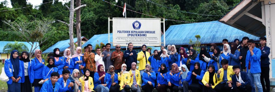
Within the framework of the European SustainaBlue project, a series of short training programs organized by the Sustainable Blue Economy Centers (SBECs) of collaborating Asian universities (UMT, USM, ITS, UI) has concluded with great success. The training focused on activating and engaging local communities, reaching hundreds of young volunteers, university students, school pupils, teachers and …

New paper on floating matter detection.

Sharing our latest paper on floating matter and debris detection. FLODAS uses 8-band Planet SuperDove imagery to detect matter-loaded windrows in coastal waters. The framework uses a UNET model trained on various instances of floating matter and combines spectral information to assess windrow composition. https://www.sciencedirect.com/science/article/pii/S1569843226003857