Completed Projects
NATURAL DISASTER MONITORING (2023-2026)
AQUASAFE | Towards a precision aquaculture geoinformation (2020-2023)
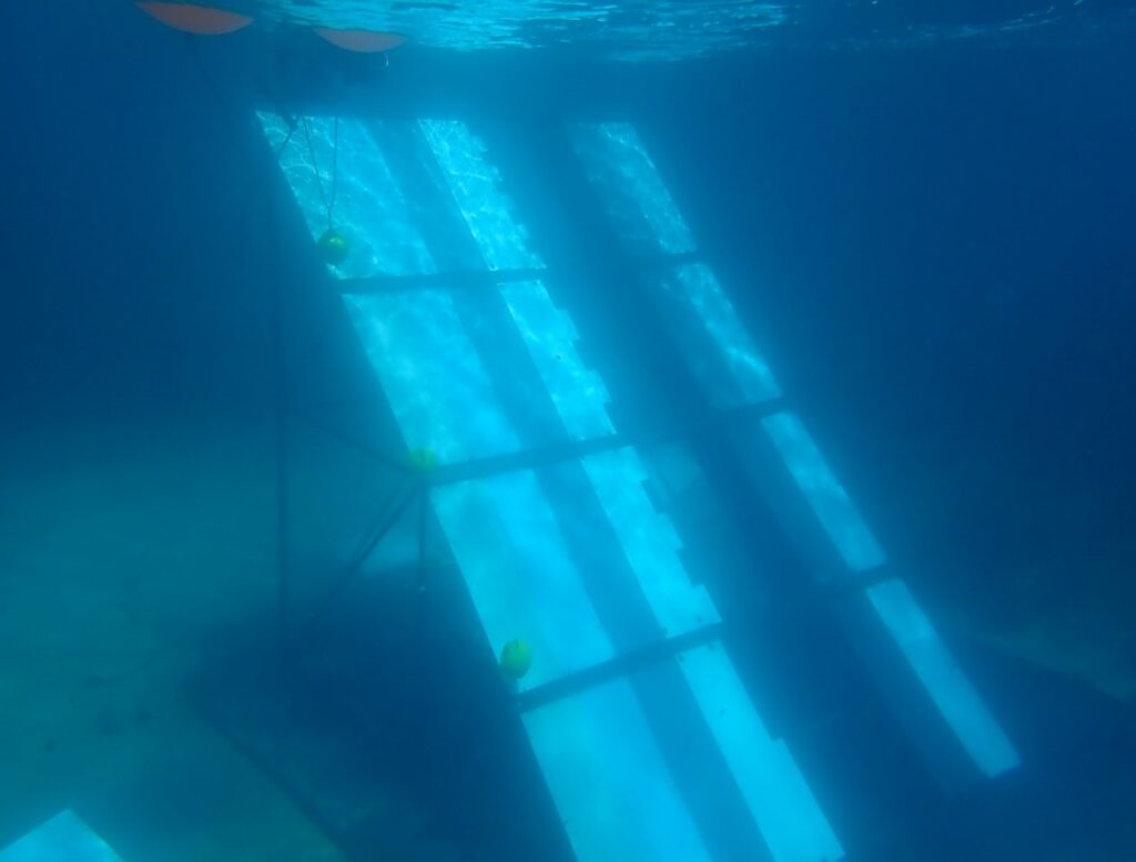
SPOTS | Spectral properties of submerged and biofouled litter (2020-2023)
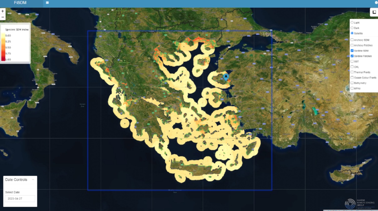
Small pelagic fish spatial distribution monitoring with satellite remote sensing
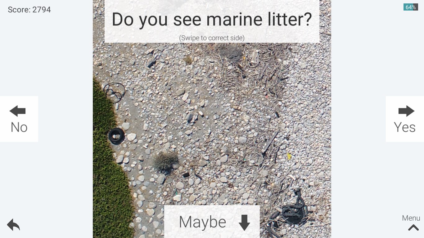
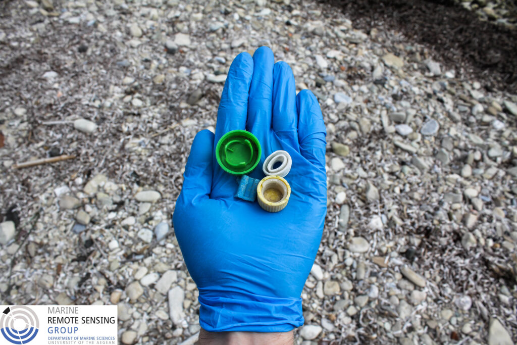
Collaboration with the IIASA team for marine litter tile sorting

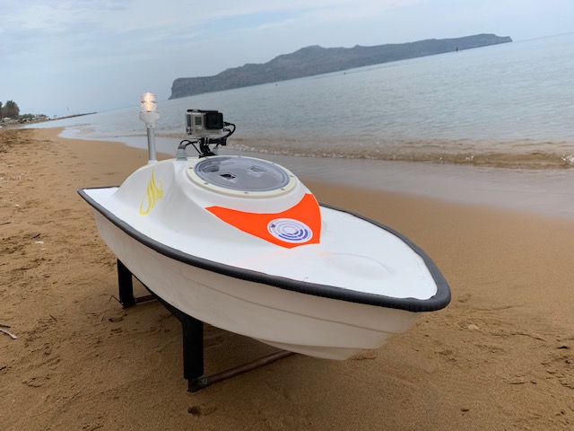
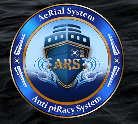
Participation in AMOS project
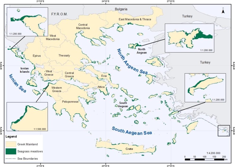
Seagrass mapping in Greek territorial waters using Landat-8 satellite images
MRSG and GET join forces for a web geospatial data portal
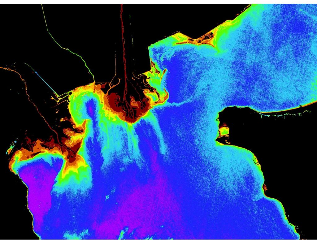
Salamina Oil spill from satellite (15/9/2017)

Participation in Marine-EO project
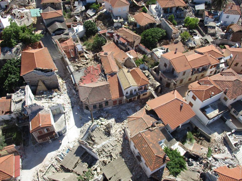
High Resolution 3D Mapping Project of the affected area of Vrisa from the earthquake of Lesvos on 12/06/2017 (2017)
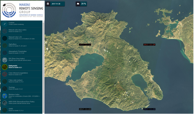
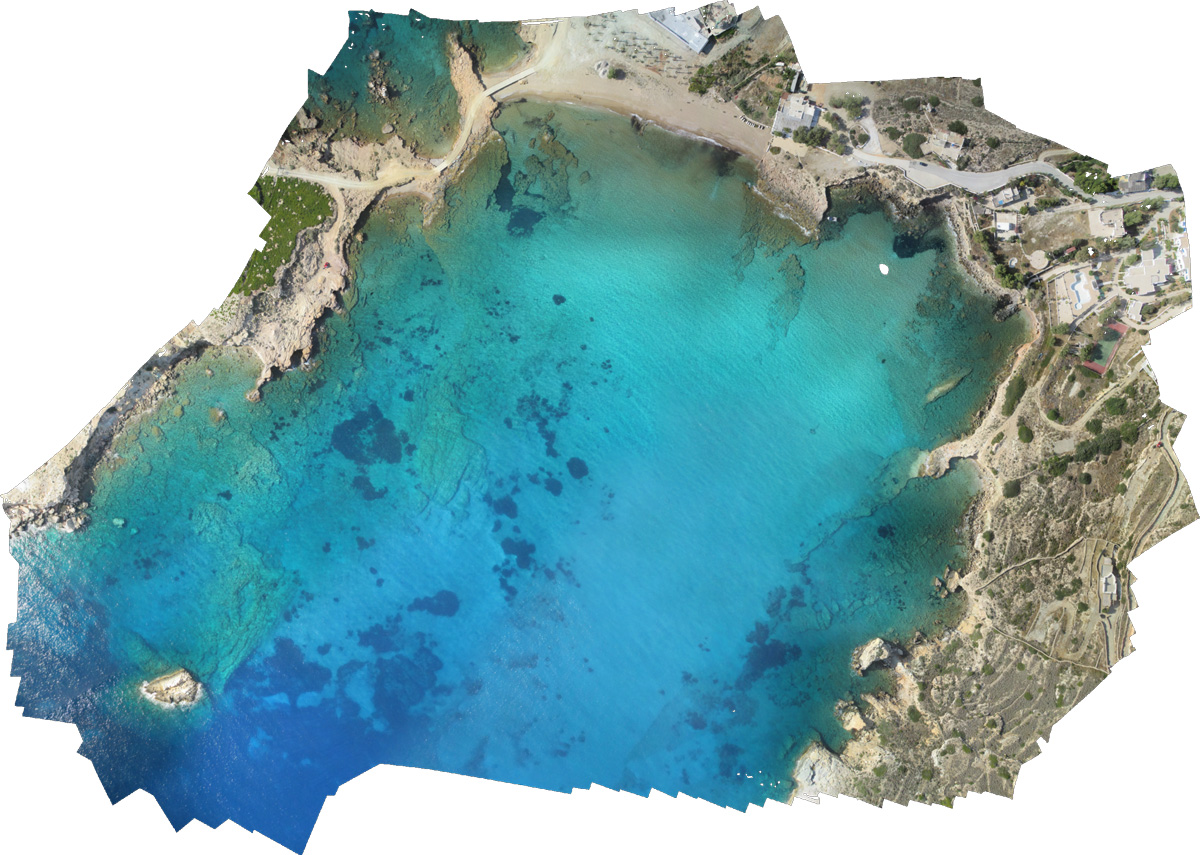
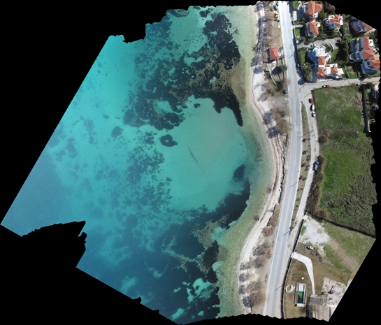
Costal Mapping
Participation in SPLITRS 2017
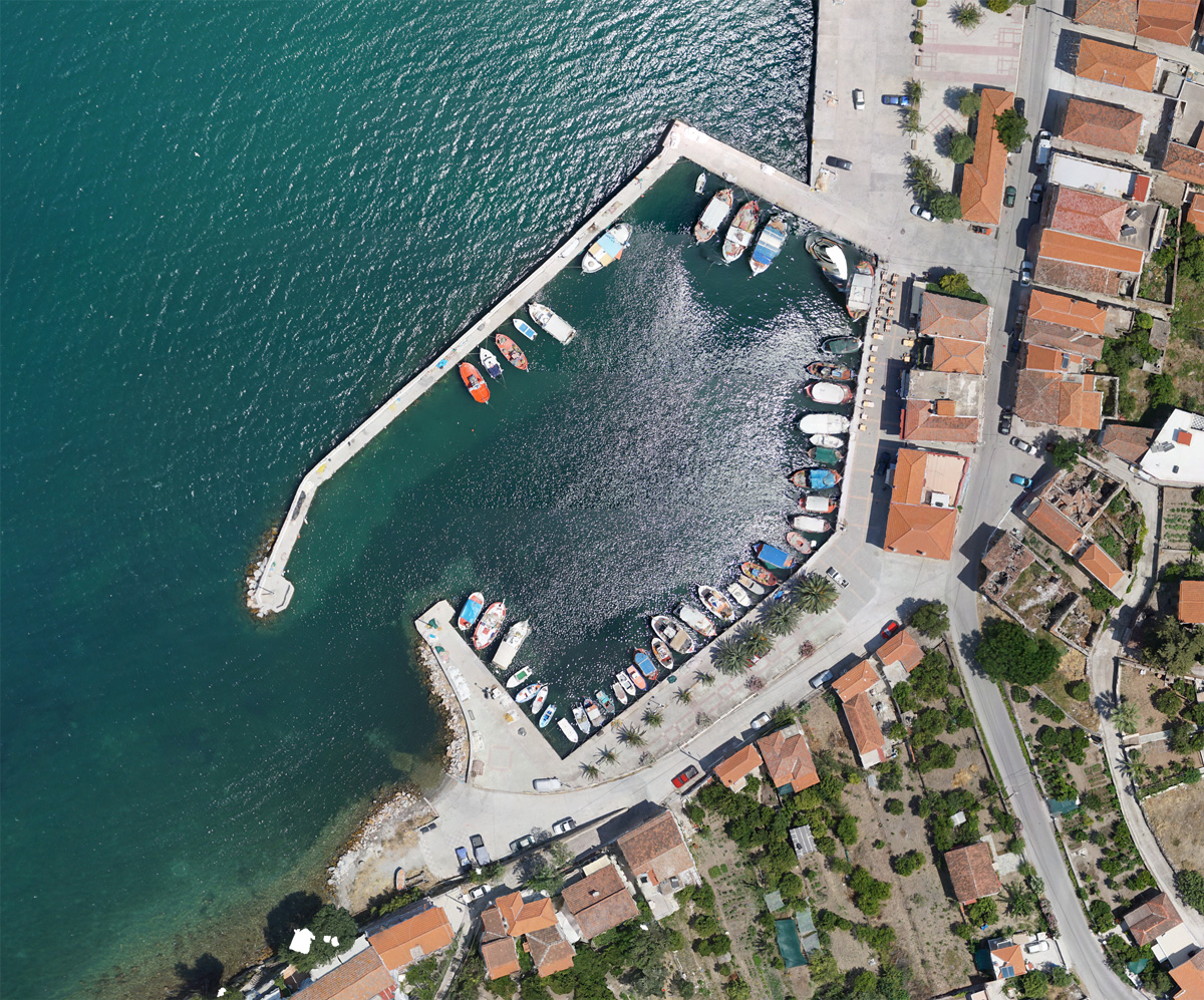
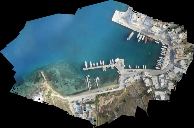
Pilot application for the production of geospatial data for the Port of Skala Polichnitou (2016)

Shoreline Mapping
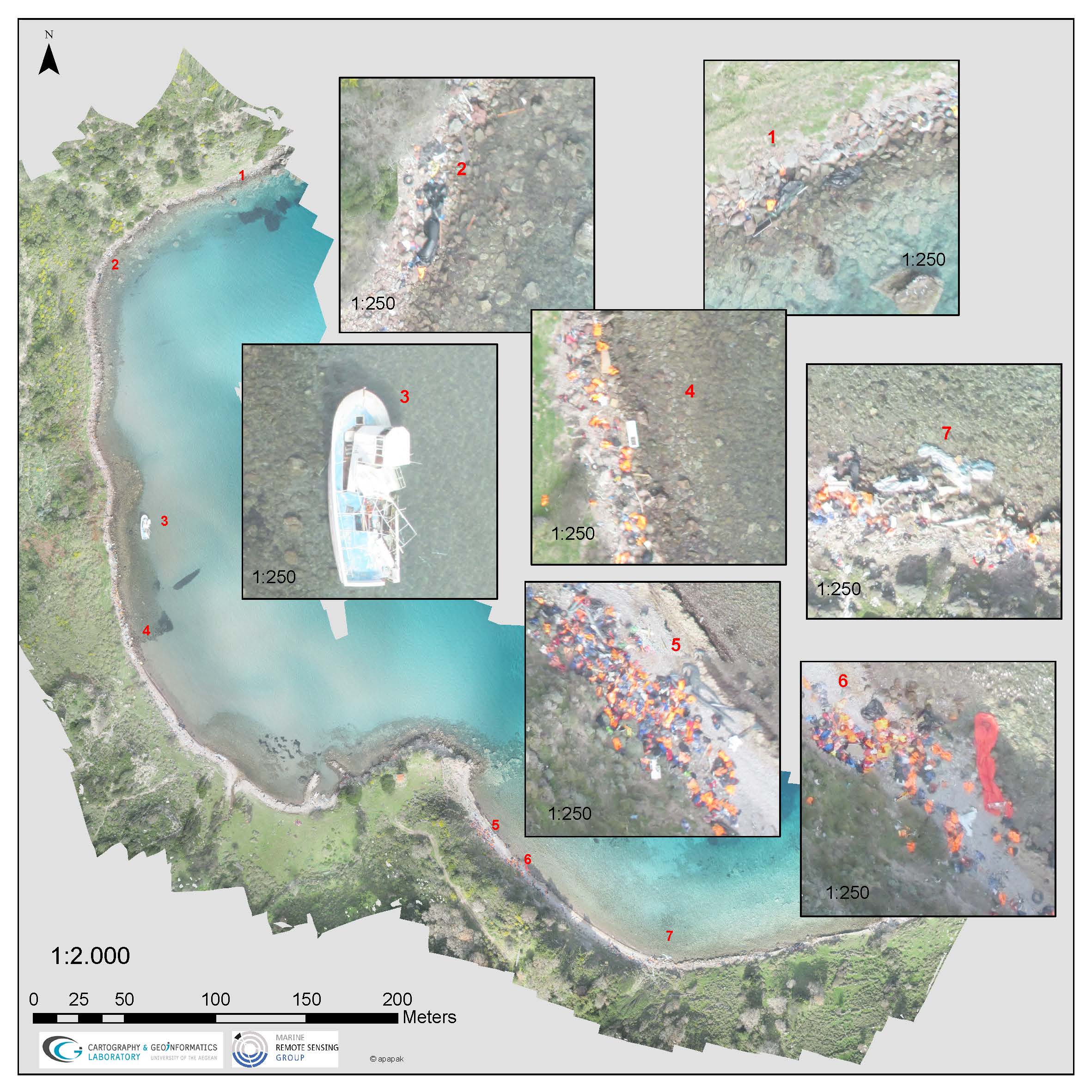
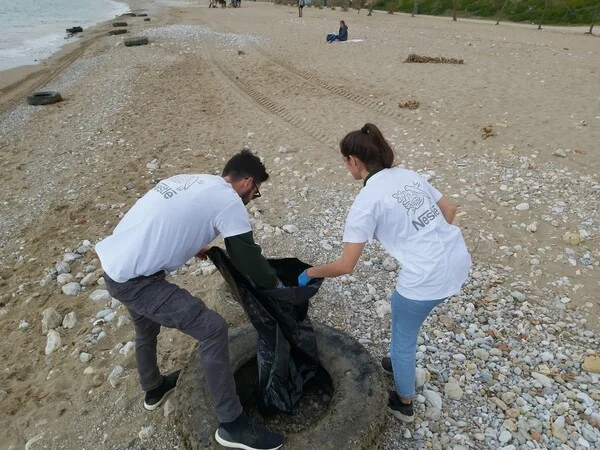
Marine Litter Detection
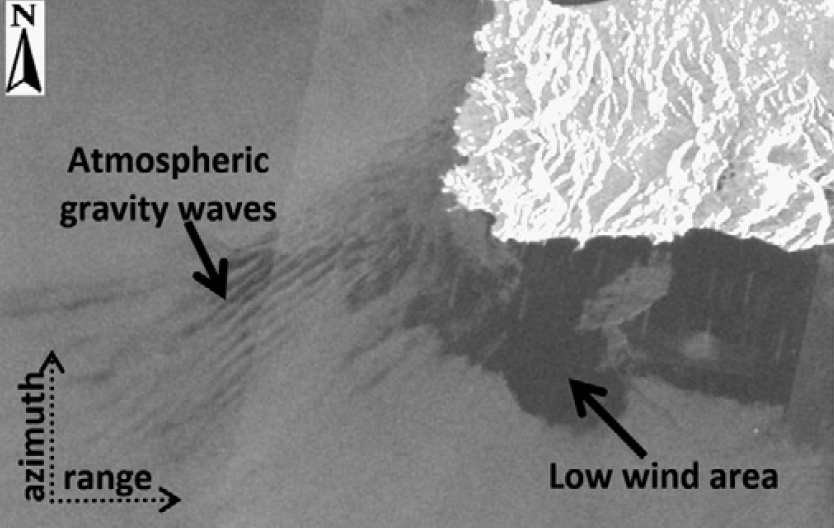
Mapping mesoscale phenomena in SAR images
Seagrass mapping
Dragon-4, Oceans & coastal zones
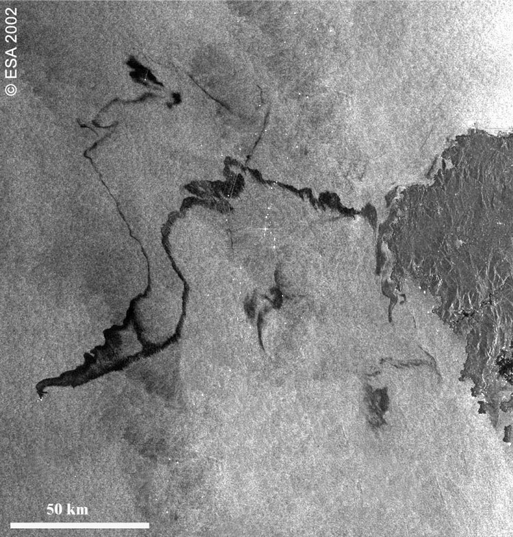
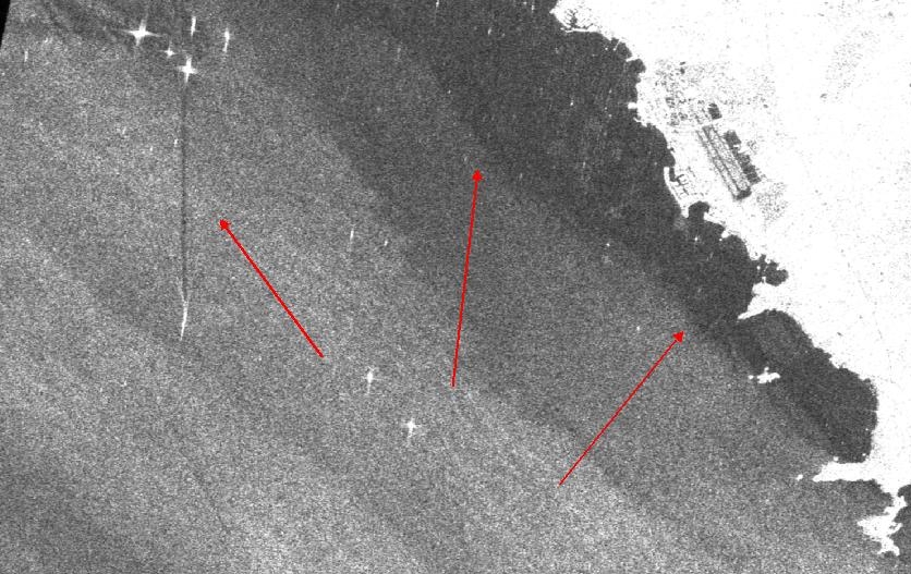
Oil spill detection from SAR images
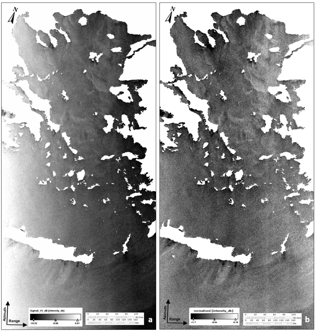
SAR pre-processing
Recording and studying of the erosion reversal phenomena in tourist beaches of the Aegean islands (2015-2016)
Support works in the framework of European Programs of the Municipality of Lesvos (2015)
ThalaSAR | Automated detection and classification of mid-range oceanographic phenomena in synthetic aperture radar satellite imagery (2012-2015)
Development of Geographic Information System for the Prefecture (2010)
ARGOMARINE | Automatic Oil-Spill Recognition and Geopositioning integrated in a Marine Monitoring Network (2009-2012)