Marine Remote Sensing Group
A Window to the Coastal World
WE ARE A RESEARCH GROUP LOCATED IN MYTILENE, GREECE
The Marine Remote Sensing Group (MRSG) at the University of the Aegean has been conducting research for the exploration, analysis and visualization of the satellite and UAV data in the coastal environment since September 2014. We combine state-of-the-art algorithms and in situ measurements to develop new methods, technologies, and products for the visual representation of marine geospatial information. The group has gained expertise in several disciplines of marine remote sensing, including oil spill detection, oceanic phenomena identification, seagrass mapping, coastal bathymetry and coastline detection. Hereafter, we present ongoing and completed research projects.
LET’S WORK TOGETHER!
Research expertise
We specialize in marine remote sensing, combining satellite data, UAV imagery, and geospatial analysis to monitor coastal environments, assess marine habitats, and support sustainable management.
UAS Marine Habitat Mapping
High-resolution drone mapping of shallow marine ecosystems for habitat monitoring and management.
Satellite Oceanography
Satellite-based analysis of ocean processes, supporting fisheries management and environmental monitoring.

Coastal Change Monitoring Using Airborne LiDAR
Multi-sensor remote sensing approaches for monitoring shoreline dynamics and coastal change.

Remote Sensing of Marine Debris
Remote sensing and machine learning approaches for detecting floating marine litter and monitoring coastal environments.

Floating Marine Debris Detection using Satellite and UAV Imagery
Multi-scale satellite and UAV approaches for the detection and monitoring of floating marine debris.
WE WORK WITH
Our Partners





Get in touch with the MRSG
If you are interested in collaboration, research projects, or would like to learn more about our work, feel free to reach out!
From the News
Latest News
-
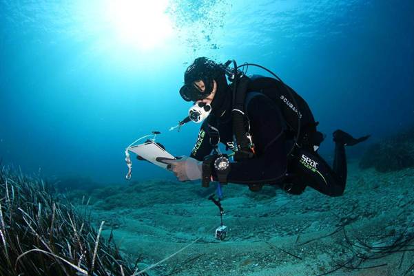
Έναρξη λειτουργίας του Παρατηρητηρίου BLUEQ για την ενίσχυση της μακροπρόθεσμης προστασίας των θαλάσσιων οικοσυστημάτων της Αδριατικής και του Ιονίου.
Read more: Έναρξη λειτουργίας του Παρατηρητηρίου BLUEQ για την ενίσχυση της μακροπρόθεσμης προστασίας των θαλάσσιων οικοσυστημάτων της Αδριατικής και του Ιονίου.Ένα νέο διακρατικό δίκτυο συνδέει την επιστήμη, την παρακολούθηση και τη διαχείριση του θαλάσσιου περιβάλλοντος για τη στήριξη της μακροπρόθεσμης διατήρησης της Posidonia oceanica και των οικοσυστημάτων «μπλε άνθρακα». Στο πλαίσιο του έργου BLUEQ δημιουργήθηκε μια νέα διακρατική…
-

BLUEQ Short Documentary
Read more: BLUEQ Short DocumentaryShowcasing the Value of Blue Carbon Ecosystems Across the Adriatic–Ionian Region 🎥 Watch the documentary here. The Marine Remote Sensing Group (MRSG) is pleased to share the official BLUEQ Short Documentary, produced within the framework of the BLUEQ…
-
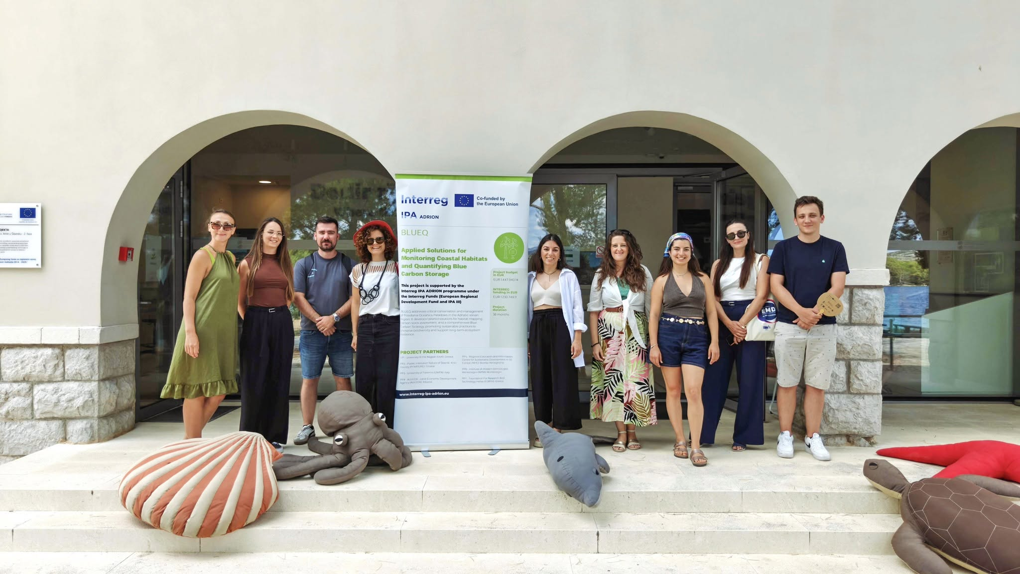
BLUEQ Project Successfully Completes the Pilot Actions
Read more: BLUEQ Project Successfully Completes the Pilot ActionsThe BLUEQ project has successfully completed its pilot actions in the Adriatic-Ionian Region. An important milestone in the development and validation of innovative methodologies for monitoring coastal habitats and quantifying Blue Carbon. Over the past months, project partners…