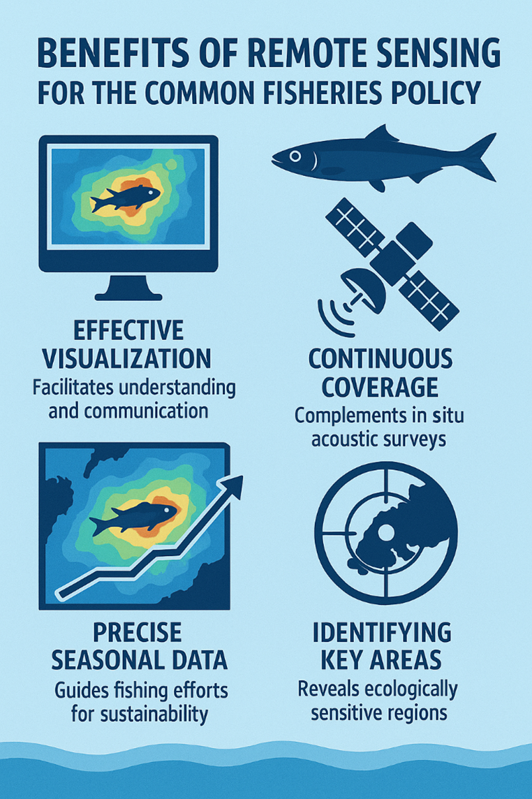
Small pelagic fish such as anchovy and sardine are essential to marine ecosystems and coastal economies. They form a critical link in the food web, supporting biodiversity while also providing an affordable and widely consumed food source across the Mediterranean and Europe. Ensuring their sustainable management is therefore vital for both environmental balance and human livelihoods.The FishHAB project uses advanced satellite data and modelling techniques to improve how these species are monitored and managed. By leveraging data from the Copernicus Marine Service and research developed at the University of the Aegean, the project maps Habitat Suitability—identifying where environmental conditions are most favorable for these fish.The system combines key oceanographic indicators such as sea surface temperature, chlorophyll levels, ocean fronts, and bathymetry, applying machine learning models to predict spatial distribution patterns. These models have already been developed and validated and are now being refined to better support decision-making by national authorities. A key feature of FishHAB is its focus on responsible data use. Instead of providing exact fish abundance, the service delivers a Habitat Suitability Index (HSI), reducing the risk of over-exploitation while still offering valuable insights. Data are also aggregated over longer time periods to prioritize strategic planning over short-term commercial use. Initially focused on Greek seas, the service is designed to be scalable to other regions where suitable data are available.FishHAB supports evidence-based policy and sustainable fisheries management by:
- Providing indicators of ecosystem health and biodiversity
- Supporting fisheries monitoring and planning
- Contributing to the implementation of European policies such as the Common Fisheries Policy and the Marine Strategy Framework Directive.
The FishHAB service is built on a combination of fish biomass observations and environmental data collected from georeferenced surveys of anchovy and sardine populations (2013, 2016, and 2019). These observations are paired with key oceanographic variables—including sea surface temperature, chlorophyll-a, salinity, dissolved oxygen, primary productivity, ocean fronts, bathymetry, and seasonal patterns—primarily sourced from the Copernicus Marine Service. Using these inputs, FishHAB applies a two-stage ensemble modelling approach to estimate seasonal habitat suitability across the Greek seas. This allows for a more robust and reliable understanding of where environmental conditions are most favorable for small pelagic fish.
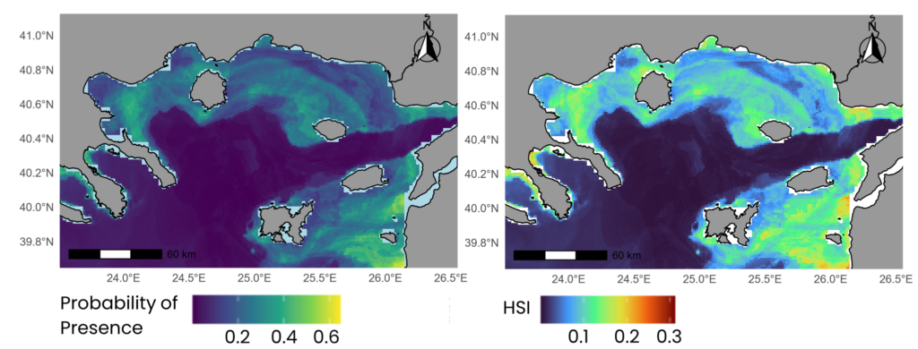
Figure 1Anchovy (E. encrasicolus) Probability of Presence (left) HSI model output (right) for July 2019.
The service is currently in its pilot phase, with the full modelling workflow established and ready to transition into pre-operational use by Greek fisheries management authorities. FishHAB is designed to support sustainable fisheries management by complementing traditional monitoring methods. In particular, it enhances existing biomass assessments—typically derived from acoustic surveys—by filling important spatial and temporal gaps through Earth Observation data.
Funding
This project has been funded by Copernicus Marine National Collaboration Programme (2021-2025), Contract number 25339L01D-COP-NCP USER DEMO-8000 “Pelagic Fish Habitat Suitability Modeling through Satellite Remote Sensing (FishHAB)”.
Read More
- Can we actually monitor the spatial distribution of small pelagic fish based on Sentinel-3 data? An example from the North Aegean Sea (Eastern Mediterranean Sea)
- A Geospatial Web Service for small pelagic fish Spatial Distribution Modeling and mapping with remote sensing
- Modeling Pelagic Fish Habitat Suitability with Copernicus Marine Service Data to Support Sustainable Fisheries Management